Cliff gives the 5:30 coffee call. Breakfast is bacon, hash browns, and melon. Everyone packs their gear and the boat is loaded. We push off at 7:45. I am wearing socks with my crocs today so my ankles will not get sunburned. Our first stop of the day will be the LCR (Little Colorado River).
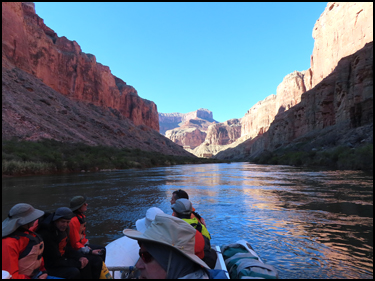
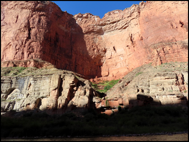
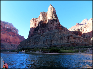
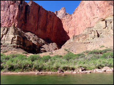
We pass some interesting features on the way down River.
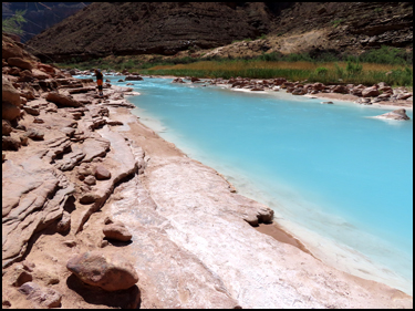
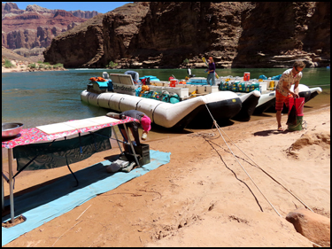
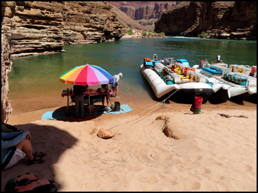
We tie up at the LCR, mile 61.5, around 9:50. If there has been any recent rain, it will be flowing a muddy, brown color, but today it is a beautiful blue color. I find a Geological Survey marker, one of many I have found in the Canyon. However, this is the first one I have seen that did not have date, location, and elevation data stamped onto it. Several people float downstream in the Little Colorado. Unlike the Colorado River, which is a constant forty-five degree temperature because its water comes under the Glen Canyon Dam from the bottom of Lake Powell, the Little Colorado is fairly warm.
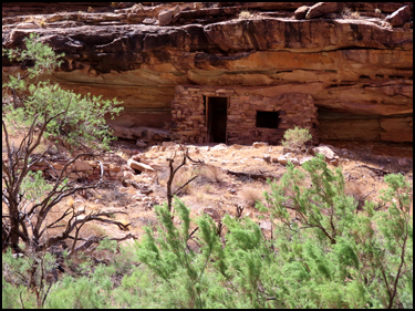
Richard Erbe and I move about half-way up the LCR until we are directly across from Ben Beamer's rock cabin. Ben Beamer was a prospector in the late 1800s. It is hard to believe that he lived alone in that one-room rock cabin. He is one of the few Grand Canyon historical people for whom there is no known picture. After about an hour and a half we go back to the boat. There sure are lots of rafts tied up here. Obviously, this is a very popular place.
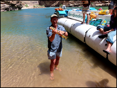
We leave the LCR at 11:15 and drive only a short distance to Crash Canyon, mile 63, for lunch. Our lunch is chicken salad. Cliff is able to catch a Flannel Mouth Sucker fish beside the boat.
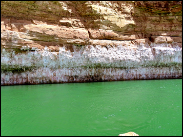
After lunch we start the drive to mile 73 and the Unkar Delta. On the way the salt deposits on the canyon walls are very distinct.
In the distance high of the hill we can see the Desert View Watchtower designed by Mary Jane Colter in 1932.
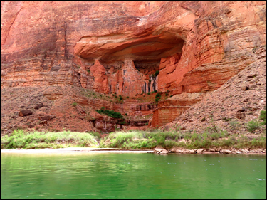
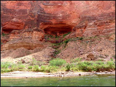
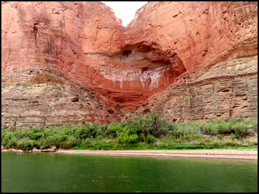
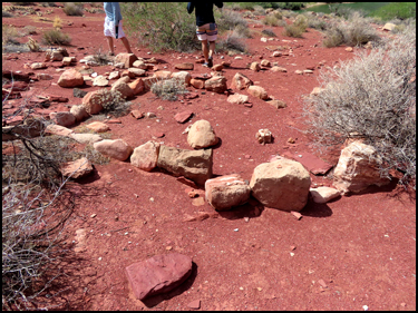
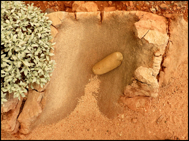
We pull over and tie up at the Unkar Delta, mile 73. Cliff goes through a lengthy explanation of the Delta. Unkar is a Paiute word for "Red Stone." The Delta is indeed surrounded by vibrant vermillion colored rocks. The sandy banks were formed by rock debris that Unkar Creek swept down from the North Rim during floods. From around 850 to 1200 A.D. ancestral Puebloans used the area seasonally, planting crops and building homes and granaries on the Delta and along Unkar Creek. Archeologists believe that Puebloans use of the site peaked around 1100 A.D., but most had migrated away just 100 years later. On one of my hikes across the River at the Hilltop Ruins, I came across the Metate and Grinding Stone shown in the last picture below. Surprisingly, it was in pristine condition..
We shoot Unkar Rapids and then head downstream toward Grapevine Canyon. Bec points out the Angel's Window on the north side. It is difficult to see it straight from the camera in the first picture below. The second picture is zoomed in some, but the Window is still a little hard to see. The third picture was taken up close at Cape Royal on the North Rim.
We later pass by the Angel's Gate, but I did not get a picture of it. However, a very cool picture of the Angel's Gate is below that I took on one of my hikes by there.
Around mile 76.5 we pass the Papago Wall and Slide. I have hiked by this feature 4-5 times. On several of those trips when I was going east to west, I was able to hitch a raft ride the hundred feet or so past those obstacles. I've only had to climb over it a couple of times. It is far safer when you are going west because the Wall is much easier to climb going up it instead of descending it when you have difficulty seeing where your hand and foot placements go.
We continue downstream to Grapevine Canyon at mile 82. Supper tonight is sliced meat and salad.
MAIN INDEX | HIKING INDEX | BACK TO DAY 2 | FORWARD TO DAY 4
|