When Keith and I get up this morning, the River water in our Platypus containers is crystal clear. It's amazing how much sediment can settle out overnight. We pack and put all our stuff right by the River, so we will be completely ready when the rafters get here. While we are waiting, I point out to Keith that the trail I took on a prior hike from Neville Rapids to Papago Creek is what I call the "High Route." It climbs up high at the rapids, remains level all the way over, and then makes a nearly vertical descent down to Papago Creek. The walking yesterday afternoon was so easy from Neville Rapids to our campsite on the beach that we decide to use our raft ride to check out what kind of scrambling there is the last few hundred yards past the beach until you reach Papago Creek. Maybe that will be a feasible alternative to the High Route. The rafters said they would get here at 9:30 and we could have set our watches by their arrival. They pull up, we jump in, and we're off. There only appears to be some very minor scrambling on the rocks the last few hundred yards from the end of the beach to Papago Creek, so the Low Route seems to be the better way to go.
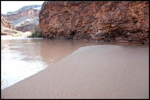
We say goodbye to our new rafting friends and they push away, headed for Hance Rapids. The picture below shows the cliff section that sticks out into the water, forcing hikers up and over the Papago Slide . It is only about 100 feet from one side of the cliff to the other. As a hiker, the other side of the cliff is so close yet so far away.
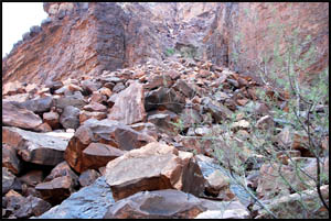
The Papago Slide is a very intimidating feature. It is steeper than these pictures make it seem. This is my fourth time by the Slide. I climbed over it my first time by and then was able to hitch a raft ride by it the next three times. I'd say that's a pretty good batting average. I kid Keith that if he wants to experience the joy of climbing over the Slide, I will wait for him right here.
It doesn't take us long to reach Hance Rapids, especially since we are fresh. No one is here and all the good campsites are empty.
Hance Rapids has a lot of rocks in it and I can see how that would be tough on rafts, but all our new rafting friends make it through safely. When Keith and I did a motorized raft trip last year, we broke a motor going through the rapids here.
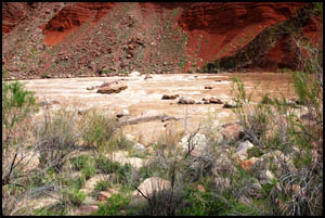
We originally had planned to camp at the rapids tonight, but since we got here so fast this morning we decide to head uphill while it is still early. We stop at the creek about 1.5 miles up to filter water and have lunch. It's easy to see how Red Canyon got its name with its bright red walls. We later meet a group headed over to Mineral Canyon for the night. One guy is from Canada and the couple is from Phoenix.
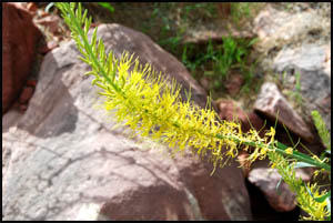
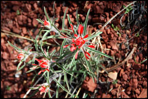
There is more pretty plant life in this section.
Keith and I consider camping just below the Redwall where I have camped before. I explain that this is probably the easiest Redwall I have ever done, so we elect to go up it and around the small loop to the next campsite on a high promenade.
We pass more plants and flowers.
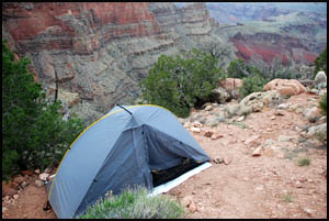
When we reach the campsite, it is not nearly as nice or level as I recalled. I am too pooped to go on, so this is going to have to do for the night. The wind is really picking up, forcing me to cook supper inside my tent.
Tomorrow we hope to reach the trailhead by the highway around lunch time. MAIN INDEX | HIKING INDEX | BACK TO DAY 3 | FORWARD TO DAY 5
|


