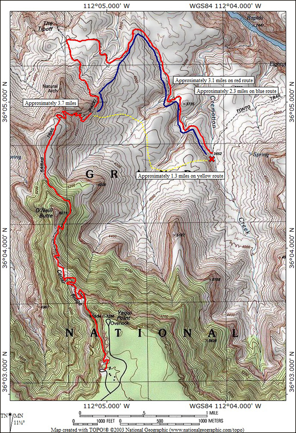
THE MAP ABOVE SHOWS
THREE POSSIBLE ROUTES
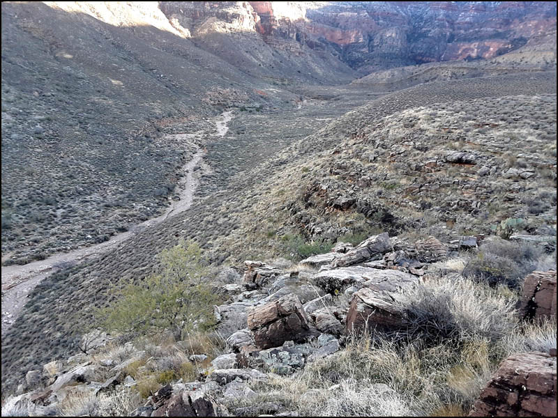
I am one of the Park Rangers at the South Rim. My wife, Bianca, is friends with a hiker from Oklahoma. He was playing with Google Earth and wondered if one could save some time and effort by taking a more direct route from below Skeleton Point to where the trail crosses Cremation Creek, thereby completely bypassing the tough western and middle arms of Cremation Creek. The established trail heading east on the Tonto platform crosses three dry arms of Cremation Creek, The first two of these have steep, loose descents and ascents. My goal was to see if there is an easier eastbound route across the Tonto, going south of the main trail, and thus avoiding the steep ascents and descents in the middle and western arms. I started down the South Kaibab Trail around noon on December 16. I made it to the descent gully in about two hours. I stayed to the right of the deep ravine, heading east toward the head of the western arm of Cremation.
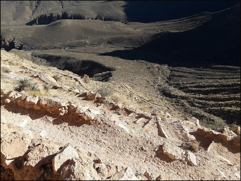
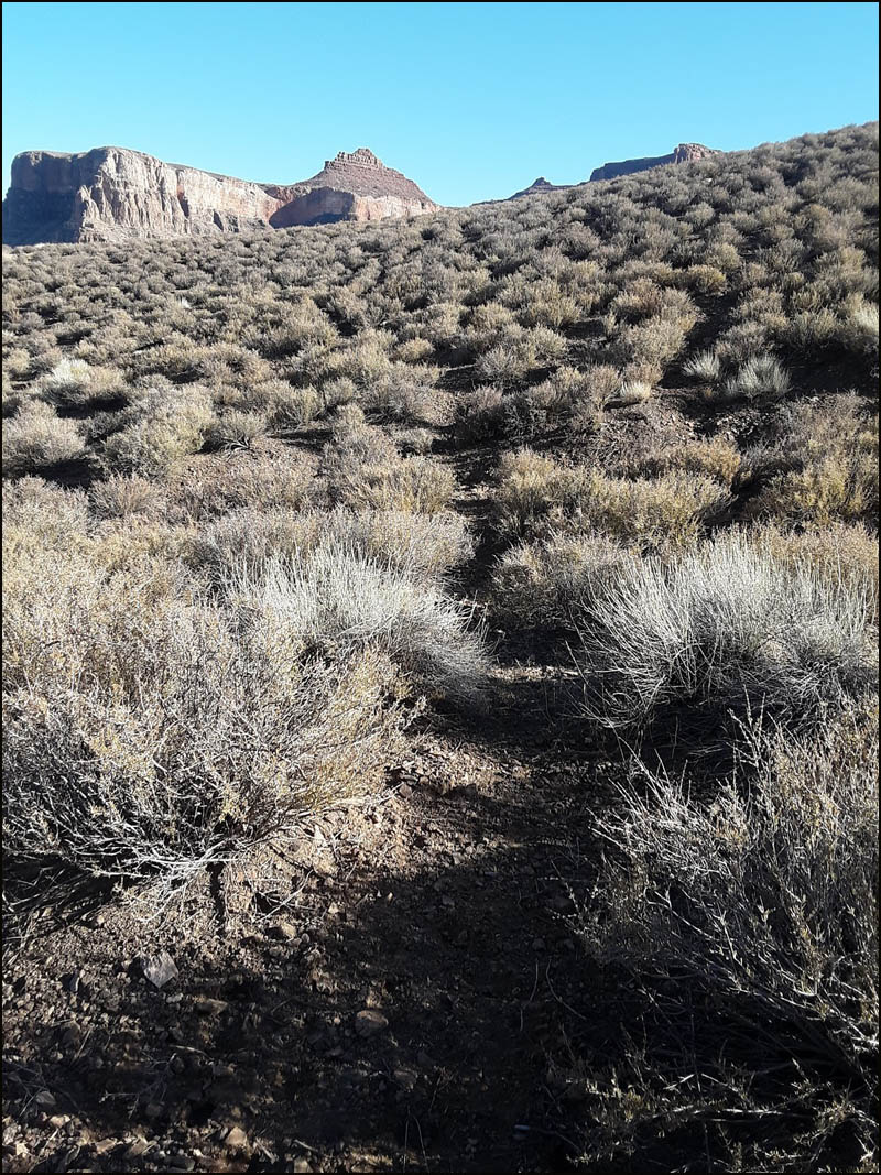
It was steep, but easy walking through the blackbrush. After leaving the main trail, I made it down to the bottom in about ten minutes. The walk between the western and middle arms was very, very easy. There were animal tracks and scat throughout this area, and I was generally following their 'trails' as I walked along.
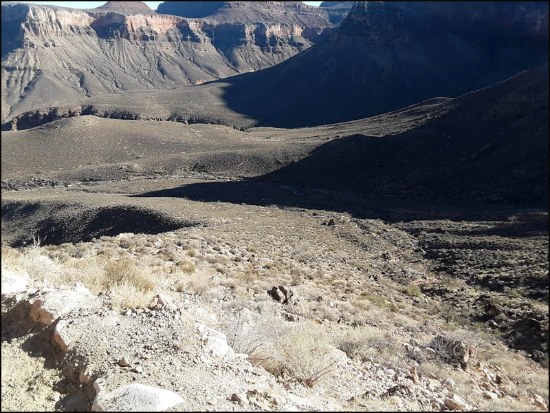
There was a relatively gentle ascent from the second arm to the high plateau separating the eastern and middle arms, and it continued to be easy walking through here. I walked generally south/southeast as I knew there was a steep cliff at the eastern arm. There was a short, steep descent to the bed of the creek. I arrived at the bed of the eastern arm in about forty minutes.
If I had continued further south, the descent would have been even easier, but it would have been a longer total walk to go downstream to the Tonto trail junction. Once I reached the bed of the creek, it took ten minutes to reach that junction. In total, it took fifty minutes from the South Kaibab trail turnoff to the junction of the eastern arm and the Tonto. I camped that night on a ridgeline between Cremation and Lonetree. It started as a calm night, but by midnight, the winds were howling to beat the band, and the temperatures were in the teens. The wind continued unabated through the morning as I packed up and headed back out. I took the established trail through Cremation, and the standard shortcut up to the South Kaibab Trail, which took me about fifty minutes.
I do think this could be a time saver, but not by a
whole lot. I'm not sure how much it would help with impact to
knees either, because the initial descent down to the western arm
was quite steep. It definitely does avoid the ups and downs of
the western and middle arms of Cremation Creek if going the standard route. |