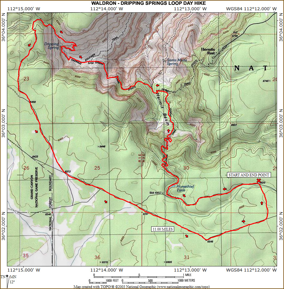
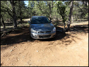
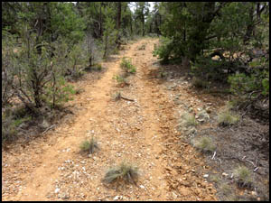
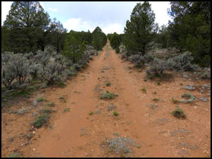
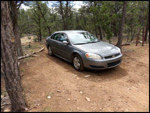
In preparation for some other hikes I'm doing in a few days, I decide to do the Waldron - Dripping Springs loop hike. I drive down the Well Rowe Road until reaching the picnic table and then turn west on the old Waldron Road. I make my way down the road until reaching a locked gate where I park my car.
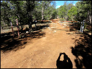
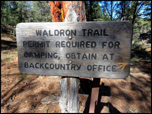
When I first did this hike in 2006, they let you drive all the way to the Waldron trailhead. Now you reach a locked gate, which is about one mile farther to the east. Fortunately, the walking on the road is very easy and I reach the Waldron trailhead sign in no time at all.
The other two times I did this hike I did it in a clockwise direction. The problem with that direction is you are pretty pooped by the time you get all the way around to the steep Waldron switchbacks leading up to Horse Thief Tank. Today I'm going to do it in the other direction and go down the Waldron switchbacks when I am fresh. I quickly pass a dry Horse Thief Tank and dam. That project was a total failure ever since its construction a century ago as it has never held water.
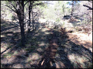
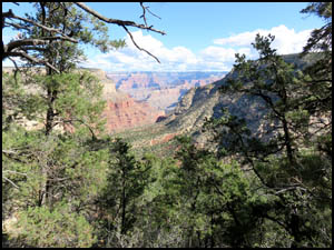
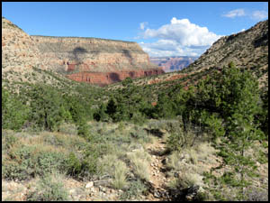
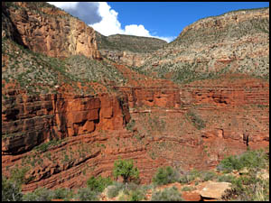
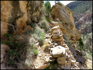
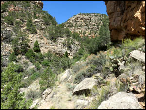
I make my way down the Waldron switchbacks and am treated to some very nice views of the Hermit - Waldron Basin.
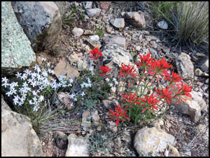
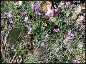
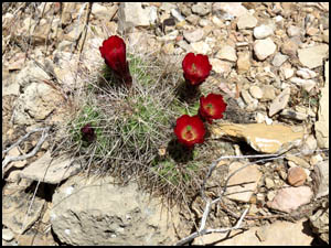
I find a few blooming flowers.
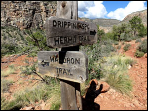
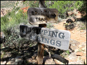
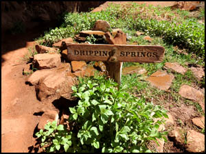
Pretty soon I am approaching the Dripping Springs Trail and the first of several signs.
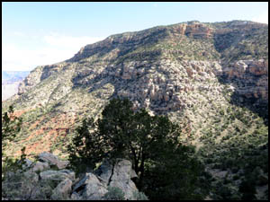
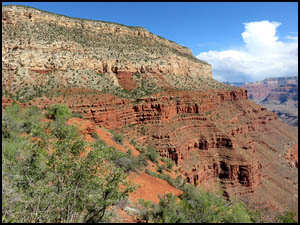
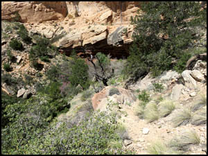
Due west is my initial objective of Dripping Springs, which is in the distance below the hump in the top center of the picture below.
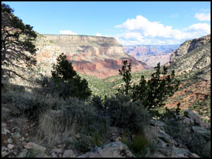
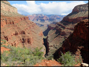
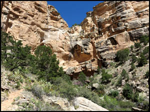
Looking down the Hermit Gorge you can see the Boucher Trail coming up on the left and the Hermit Trail on the right.
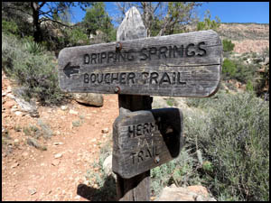
Just a little farther and I reach the turnoff to the Boucher Trail, named for Louis Boucher.
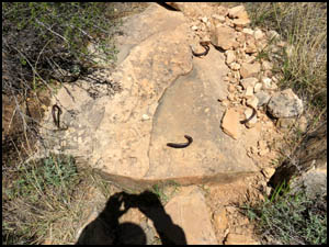
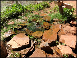
In another fifteen minutes, I am next to Dripping Springs. The metal hooks in the first picture below held logs a century ago, which aided in giving traction on the slick rocks to Louis Boucher's mule, Calamity Jane.
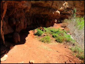
There is a continuous drip of water from the ceiling of the overhang area, which forms a pool of water below, hence the name, Dripping Springs. Louis Boucher maintained a camp here from 1891 to 1912.
I continue on the trail on the other side of Dripping Springs and start the climb up and around.
I find a very pretty blooming Hedgehog Cactus.
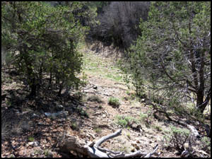
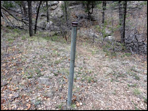
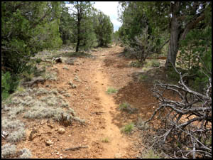
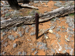
After continuing the climb and hiking around to the west, I come to a galvanized post. I've seen this same post the other two times I did this loop hike. I'm guessing it held a sign at one time. Pretty soon I come to a very distinct trail, which quickly turns into a full size road.
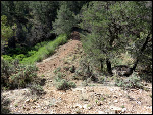
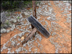
I find another steel post that looks like it held a sign at one time. I then come to the Dripping Springs sign laying on the ground. I looked back at my trip report when I last did this hike in 2012. That sign was in good shape then and completely intact on top the pole.
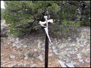
There is a T-Post where this side road meets the Boundary road, but it has nothing on it except some bones placed there by someone. I then start walking to the east on the Boundary road. Geez Louise, I was just walking along not paying attention and completely walked by the side road leading to the Waldron trailhead and ultimately to my car. I'm far enough past the side road that I'm just going to continue on the Boundary road until I get abeam my car. Fortunately, I brought my Garmin hand held GPS and remembered to mark my car's location before I left. That makes it easy to cut through the woods at the correct spot and arrive right at my car.
This is a great day hike. You get to see some neat stuff and not be too worn out. My round-about way of returning to my car probably added about one mile to my hike. MAIN INDEX | HIKING INDEX | BACK TO TRIP REPORTS
|